1200 km of marked walking trails in the Vendôme area.
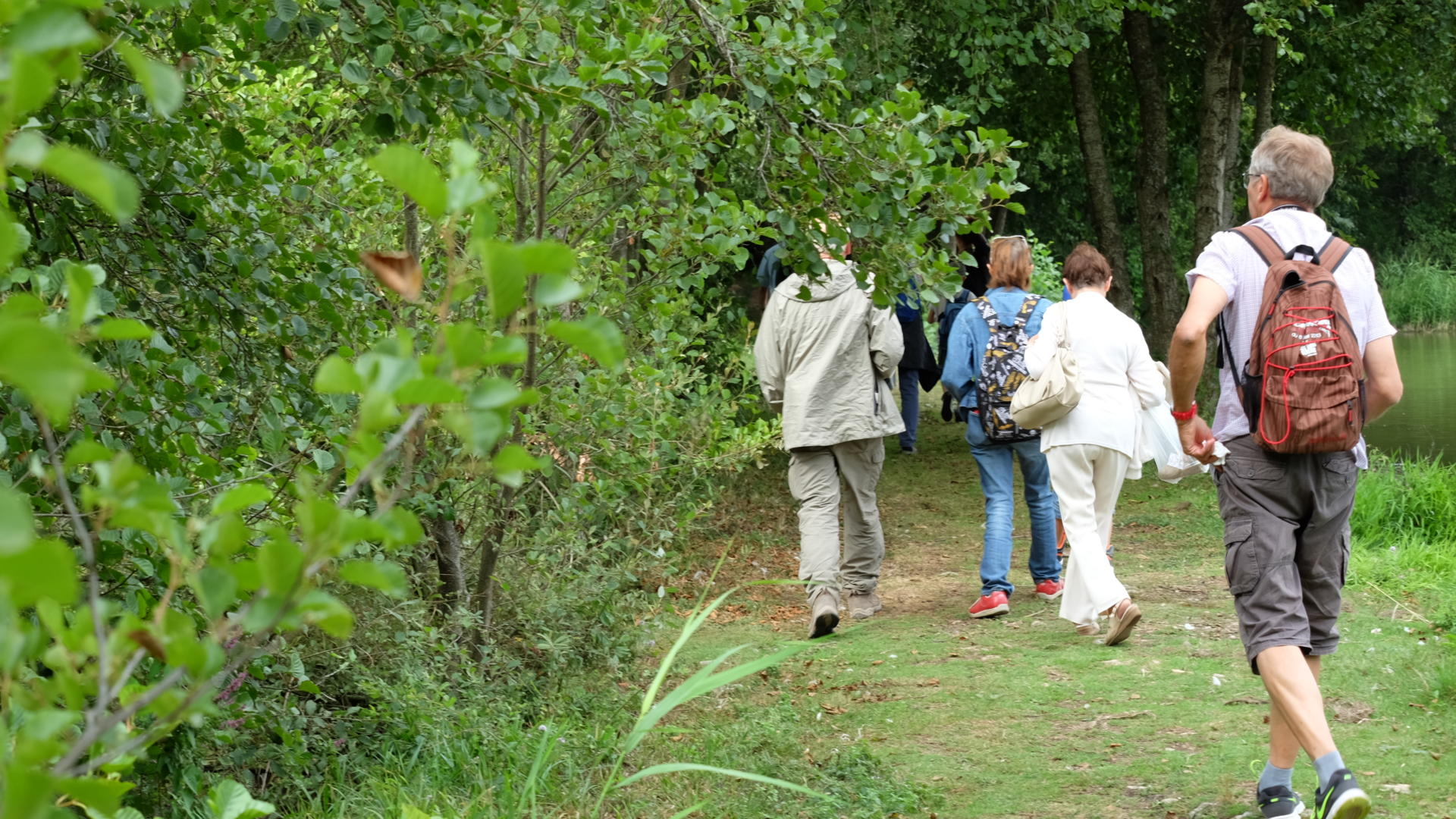
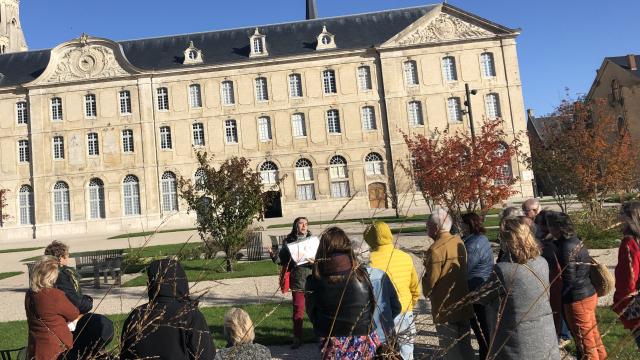
Regular or occasional walkers, go and discover our landscapes: valleys, slopes, vineyards…you will always find the right place to discover nature according to your mood.
Detailed route descriptions are available for download HERE.
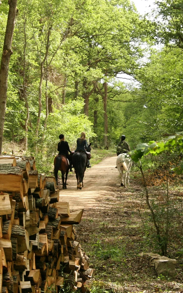
But also by bike or on horseback…
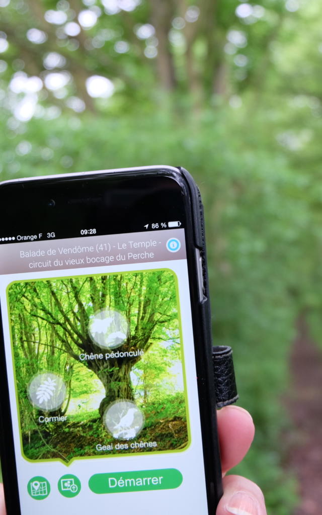
You can download the maps for free and print the circuits, export the GPX document to your GPS and synchronize the circuit on your mobile phone.
For every walk, you will also find details about interesting tourist attractions: visits, sites, lodging, restaurants, tastings…


![Combray Vallée Du Loir à Vélo [stevan Lira] (16)](https://woody.cloudly.space/app/uploads/vendome/2022/05/thumbs/combray-vallee-du-loir-a-velo-stevan-lira-16-640x1024.jpg)


